


Temperatures in Spain are not normal for this time of the year. The last week of April came with extreme heat more typical of summer. The hottest points in Andalusia have been in the provinces of Cordoba, Seville and Jaen. 38.8ºC on Thursday 27th about five o’clock in the afternoon have been reached at the airport of Cordoba represent a record heat in Spain for a day in April. Of the ten maximum temperatures four have occurred in the province of Cordoba, which also recorded the second highest, in the town of Fuente Palmera, with 38.5ºC. Another four were in Seville (the maximum 37.8ºC in Ecija), one more in Jaén (Andújar, with 37.5ºC) and another in Badajoz, (Don Benito, with 37.3ºC).

Aemet, Spain’s state weather agency, said there will be a “progressive entry of a very warm and dry air mass of African origin” causing “values typical of summer”.
The government of Spain and I are aware that the debate surrounding drought is going to be one of the central political and territorial debates of our country over the coming years.
Pedro Sanchez, Spanish Prime Minister
April 2023 started very cold, even bringing unexpected frost and snowfall in some areas. Temperatures then rose rapidly and the month ended with almost widespread rainfall. This April proved to be very different and headed towards historic heat records for this time of year. An early summer like never before, with temperatures much more typical of July and August than of spring. Spain has never recorded 40 degrees Celsius in April. Only one Spanish resort reached that temperature in that month. La Aldea de San Nicolás (Gran Canaria) marked 40.2 degrees on April 20th, 2013.
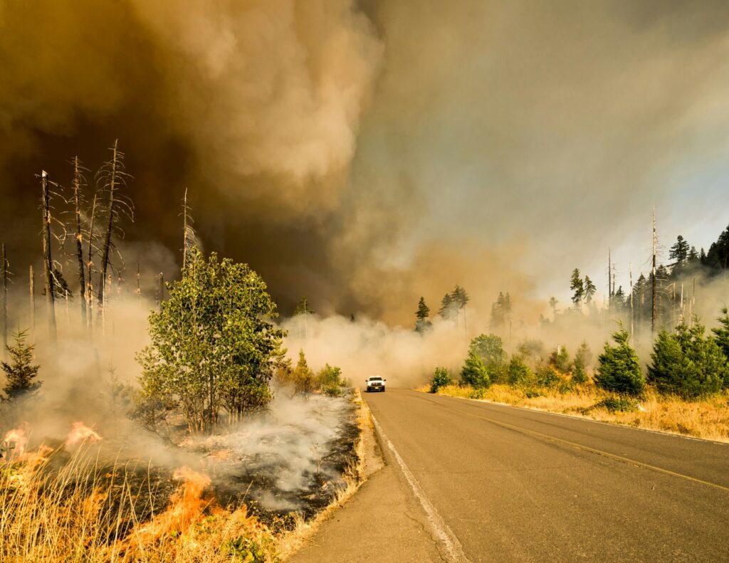
It is expected that the temperatures reached since records have been kept will be surpassed by several degrees, not tenths, as is usually the norm. As Viñas reviews, the Canary Islands, Andalusia and Murcia are the regions that so far had the highest temperature records for April. Experts believe that this heat so early in the year is due to a warm air ridge, a large volume of warm tropical air moving from North Africa northward, covering the Iberian Peninsula. This type of warm air ridges are a kind of barrier to the possible arrival of a squall. What is striking is that now they remain much longer and much more frequently.


