


The Loess Plateau in central China may not be universally known, yet its surface area of 640,000 square kilometres (around 6.5% of China’s land area) makes it a significant part of the country. However, decades of intensive farming had turned it into the most eroded place on Earth by the end of the 20th century, according to a documentary by ecologist John D. Liu. Severe changes over recent decades appear to have reversed some of the damage, but efforts are ongoing.
The landscape of the Loess Plateau is unique, as is the composition of its soil—loess being a clastic, silt-like sediment formed by the accumulation of wind-blown dust. Even though the region was once fertile, intensive cultivation had eroded the plateau.
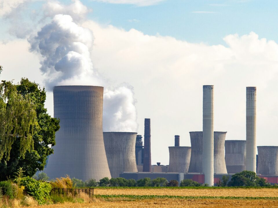
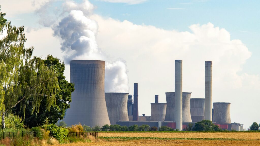
As a result, it became increasingly difficult for the 100 million people depending on the Loess Plateau to survive. The dust also spread to cities such as Beijing, contributing to already worsening air pollution.

Grain to Green project
In 1999, the so-called Grain to Green pilot project, backed by World Bank funding, was launched. Local projects had previously studied the issue on a smaller scale, but the Grain to Green project addressed the problem more broadly.
Its goal? To regreen the plateau and reverse the damage caused by years of intensive farming. In 2004, the World Bank described it as “the largest and most successful water and soil conservancy project in the world.” More than three years of research went into its design.
Firstly, common practices in the area were banned. Tree-cutting, hillside farming, and unregulated sheep and goat grazing were prohibited by law. Secondly, practices deemed beneficial were encouraged, with grain and cash subsidies given to those who converted farmland into grassland, economic forest, or protected ecological forest. To offset farming losses, tax subsidies and other benefits were introduced.
All these initiatives meant that by 2016, more than 29,784 square kilometres of cropland had been converted into forest or grassland. According to a study published in Nature Climate Change, this meant a 25% increase in vegetative cover in a decade. Erosion levels were reduced, and biodiversity increased.
Ever-changing challenges due to climate change
However, the project also revealed several drawbacks. The trees initially planted were mainly monocultures, a problem still being addressed by introducing indigenous and varied species. Furthermore, the thickening forests and growing agricultural lands are using more water than originally anticipated. More studies are required to find a solution that supports the renaturalisation of the Loess Plateau while ensuring enough water remains in the Yellow River system.
“It’s looking like there is a point at which the revegetation will become too successful in that it actually then swings the water balance of the landscape, reducing the potential for water to go into the rivers and be available for human use,” says Peter Bridgewater, an honorary professor at the Australian National University’s Centre for Heritage and Museum Studies, in an interview with The Guardian.
A study published in 2023 counters that idea, however, stating: “Vegetation restoration over the Chinese Loess Plateau can enhance atmospheric moisture convergence, increasing the precipitation enough to compensate for the vegetation water consumption.”

As climate change affects the region—located on the edge of arid and semi-humid zones—temperatures on the Loess Plateau have risen, while precipitation increased by 20–50 mm from 2000 to 2014. To maintain the natural balance, scientists must continue studying the local landscape and develop new solutions and species capable of adapting to changing weather conditions.


