


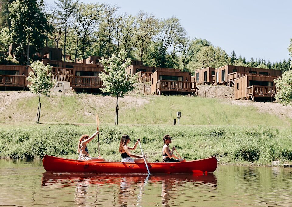
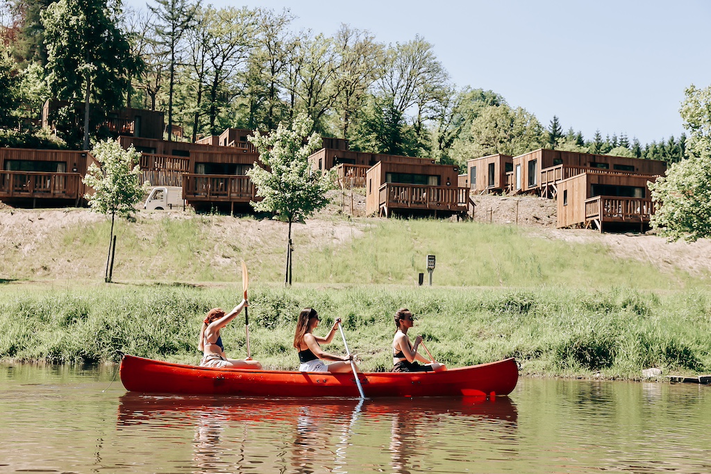
Christian Nielsen packs his dog and foldable bike for a short break exploring the Nationaal Park Oosterschelde (NPO), the “largest and wettest” nature reserve in the Netherlands.
Just a few clicks further up from the Belgian coast is Zeeland, and for those prepared to go a little further still the area around the Eastern Scheldt National Park is a haven for walkers, cyclers, birdwatchers, and beach- and seafood-lovers.
Located in the westernmost and least populated part of The Netherlands, the NPO has been described as the “beating heart” of the Zeeland Delta by Ontdek de Oosterschelde, a local guidebook to the marine park and its natural wonders.
Zeeland owes its name to this patchwork of islands and land parcels – large parts below sea level, hence ‘Sealand’ – that make up the Province. Tourism, agriculture and aquaculture are major economic drivers. During the summer peak the region’s population can swell by two to four times.
Teeming with marine and animal life, it is a world of “wind, water, mudflats and salt marshes” gifted by nature but shaped by human endeavour. It plays host to wading birds, basking seals, passing porpoises, seaweed gardens, darting crustaceans, a feast of fishes, and more.

Another unique breed in the region are the Zeelanders themselves. Traditional yet open, serious yet talkative, conversations with locals can easily veer beyond weather forecasts or the catch of the day towards more existential material; the interplay between water and land, the ebb and flow of life in this unique and influential part of northern Europe.
“If you really want to experience the dynamics of [this] ebb and flow, you should visit the island of Neeltje Jans,” notes NPO’s Wilco Jacobusse in the guidebook, “a dune landscape full of remarkable plants and animals.”
He says the swirling of the sea around the Eastern Scheldt storm surge barrier is a daily demonstration of the power of water in shaping this former sandbank: “On the island you can also enjoy the vastness of the landscape and its beautiful views … elements of sand, wind and water in any season.”

Built between 1976 and 1986, the nine-kilometre barrier connects the islands of Schouwen-Duiveland and Noord-Beveland in Zeeland and is by far the largest in a country well known for such water-taming feats. With its 65 colossal piers separated by up to 12-metre-high floodgates (each weighing 260-480 tonnes), the barrier can withstand even the most freakish floods. That, according to Rijkswaterstaat.nl, the Dutch ministry responsible for water and land management, is a once-in-four-millennia event!
This vast undertaking was no doubt influenced by the disastrous inundation of Zeeland in January 1953 – a fatal combination of high tides and a raging North Sea storm. Recalled by locals simply as De Ramp (The Disaster), the flood is “so engrained in the collective consciousness that no added words are required”, notes the zeeuwseankers.nl ‘sea stories’ website. “While many Zeelanders slept, the [dykes] broke in multiple places. Only a few people who had been warned had taken precautionary measures on a limited scale.”
Mussels and cockles … alive, alive oh!
With some 650 kilometres of coastline, it is no surprise that seafood – especially shellfish production in the tidal waters – is an economic mainstay in Zeeland, concentrating around the fishing towns of Yerseke, Zierkzee, Bruinisse, and Tholen. The Oosterschelde is also the epicentre of Dutch, if not all European, mussel cultivation – producing around 90 million kilos a year with Belgium and France as the largest markets.

Dutch mussels are grown using both the traditional ‘bottom’ and more innovative ‘suspended’ methods. In the latter, the mussels are seeded in long, sock-shaped cotton nets tied together by rope, which produces higher volumes in less time and with minimal cleaning needed because they are not lying on the grainy seafloor. However, special harvesting and de-clumping techniques are needed to prevent damage to the shells of suspended mussels, which tend to be softer.
The Dutch Mussel Auction house is in Yerseke, which is no coincidence according to Mussles.nl because the town is located along a “hard and peaty” bank of the Eastern Scheldt that provides good conditions for “rewatering” the mussels – keeping them in tiptop condition for sale.
Oyster-picking along the dykes is a popular past-time when the tide is out. For freshness and sustainability reasons, it is recommended to take only what you plan to eat that day. Other rules apply to foraging in the area, so it pays to consult local guides. Various nature excursions can also be booked through local tourist offices.

Birdwatcher’s delight
Vast marshlands sandwiched between man-made dykes are a distinctive feature of the NPO. These ‘inlays’, together with tidal cycles (800 billion litres streams in twice a day!) and seasonal fluctuations, play a key role in the birdlife you are likely to experience in the area.
At low tide, birds ply the exposed mudflats and sandbanks for their favourite foods. During high water, the waders move behind the dykes and continue feeding in the brackish marsh areas. The NPO offers useful tips on the best places to see different species at np-oosterschelde.nl/bird-watching.

In addition to Neeltje Jans, top spots for birdwatching include the so-called Southwest Delta “bird paradise” around the Weversinlaag, and the Rammegors area between Tholen and Sint Philipsland, reportedly good for spotting the peewits, common ringed plovers, spoonbills, and egrets. Another popular location is the Keihoogte inlay at Wissenkerke on Noord-Beveland, which is best experienced at high tide when birds are roosting, including the redshank, oystercatcher, bar-tailed godwit, avocet, curlew and great-ringed plover.
Another patch frequented by birdwatchers, according to NPO, is the salty meadows of the Yerseke Moor (Zuid-Beveland) where various waders, songbirds and birds of prey call home. In the winter, large gaggles of geese and ducks hole up in the region known for its maritime (relatively mild) winters.
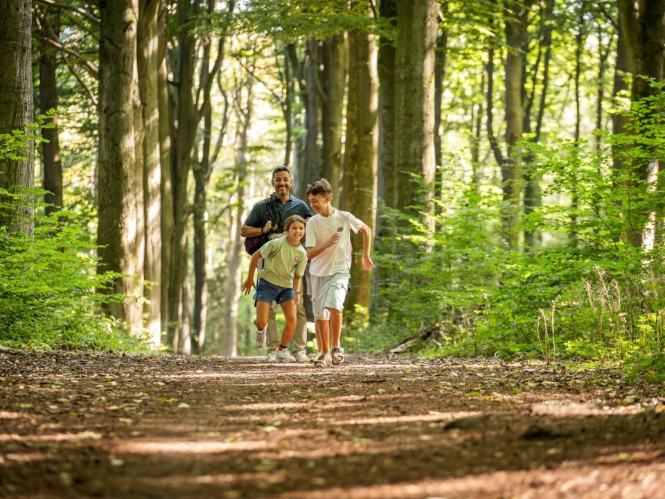
Mooiste wandeling and fietsroutes
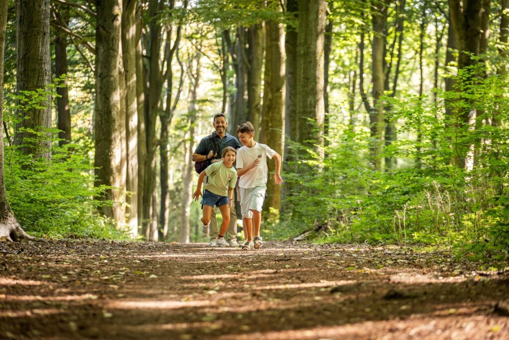
A network of attractive ‘walking and cycling’ routes criss-cross the Eastern Scheldt region; many sharing the same paths and taking in historical as well as natural sites. A 30-km cycling route through Noord-Beveland combines inland sections, coastal views, bird and nesting areas, and picturesque coastal settlements.

One such historical setting is the port of Zierikzee which is counted among the top-ten Dutch “monument cities”. Cosy streets, a boat-lined harbour, ample people-watching terraces, mediaeval gates, and the Museumhaven Zeeland are among the highlights.
The nearby Plompe Toren outside Burghe-Haamsted is the last vestige of Koudekerke – one of at least 15 villages lost to the water between 1475 and 1650. Today, the tower houses a “small but charming” information centre as part of Zeeland’s Natuurmonumenten.

Other Zuid-Beveland sites reachable by cycling include the Yerseke and Kapelle moor, several inlays such as ‘s Gravenhoek, and the ‘sunken villages’ at Bergsediepsluis around Tholen. Despite being largely flat-going, a marked 61-km route round the whole peninsula is perhaps best for e-bikers or more seasoned riders.
Right on Belgium’s doorstep, the Oosterschelde offers more than natural delights, a refreshingly uncluttered coastline, and well-organised biking and walking routes. A wealth of historical sites and an emerging foodie culture (several Michelin star restaurants in the region) round out the echte Zeeland experience.


