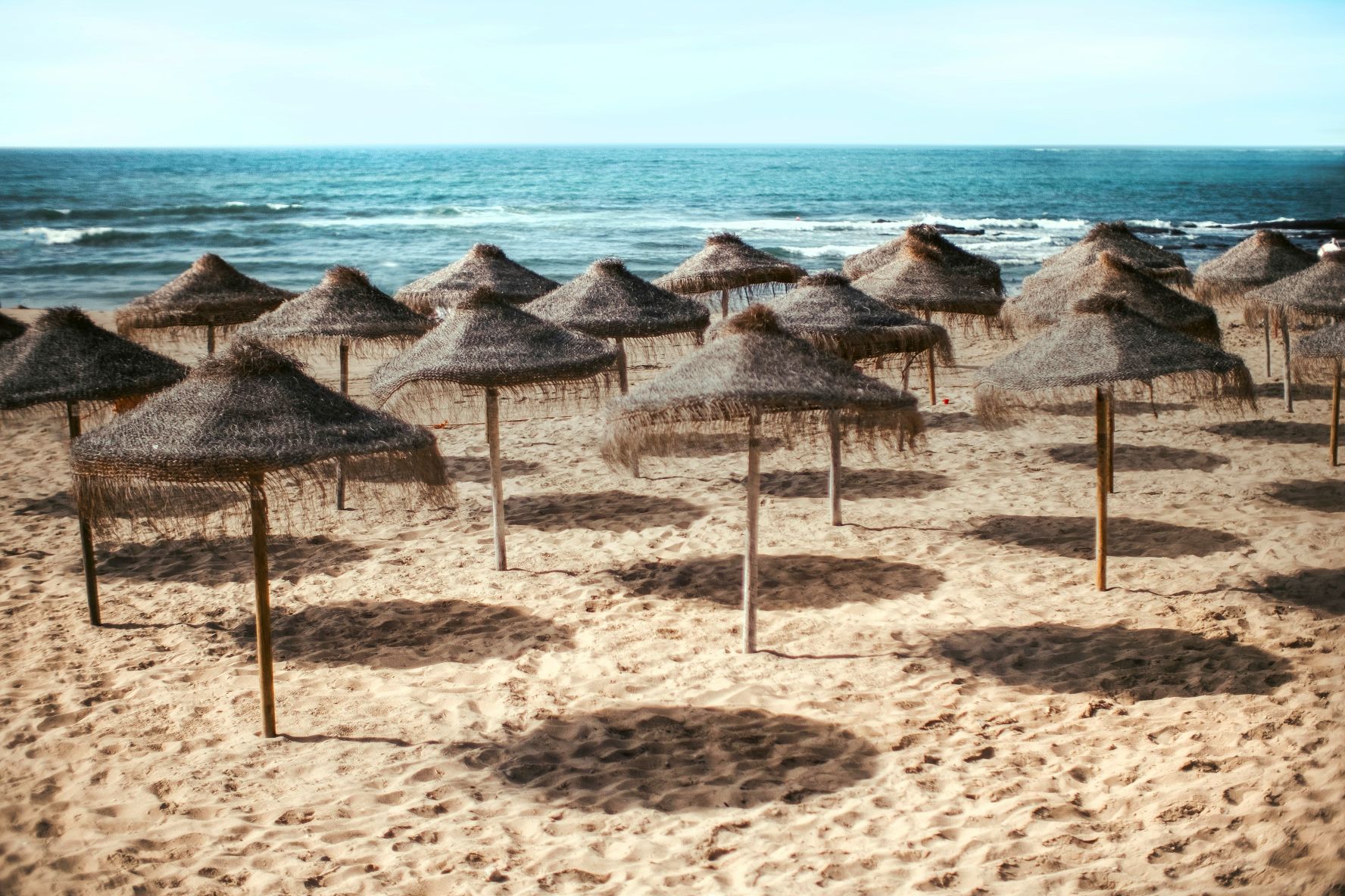


Visitors heading to some of Portugal’s most popular beaches this summer will soon find new maps at the entrance showing exactly where they can set up their own umbrellas. The initiative will first be introduced at beaches in the Algarve and along the Alentejo coast, where clear diagrams will divide the sand into different zones. The aim is to make it easier for beachgoers to understand how the space is organised and to avoid unnecessary disputes. Portugal’s Minister for Environment and Energy, Maria da Graça Carvalho, announced the measure following weeks of confusion over beach rules.
The new maps are intended to clear up a misunderstanding that has existed for years. Many visitors believed they could only place their own umbrella in areas specifically marked for that purpose unless they rented a sunshade or sun lounger from a beach concession. However, there has never been a law requiring beachgoers to do so. The debate resurfaced after the president of the Portuguese Environment Agency (APA), José Pimenta Machado, described it as “an abuse” when concession holders prevented people from placing their own umbrellas in front of licensed beach facilities. Even after the APA issued guidance to concession operators, uncertainty remained, prompting the government to introduce the maps.
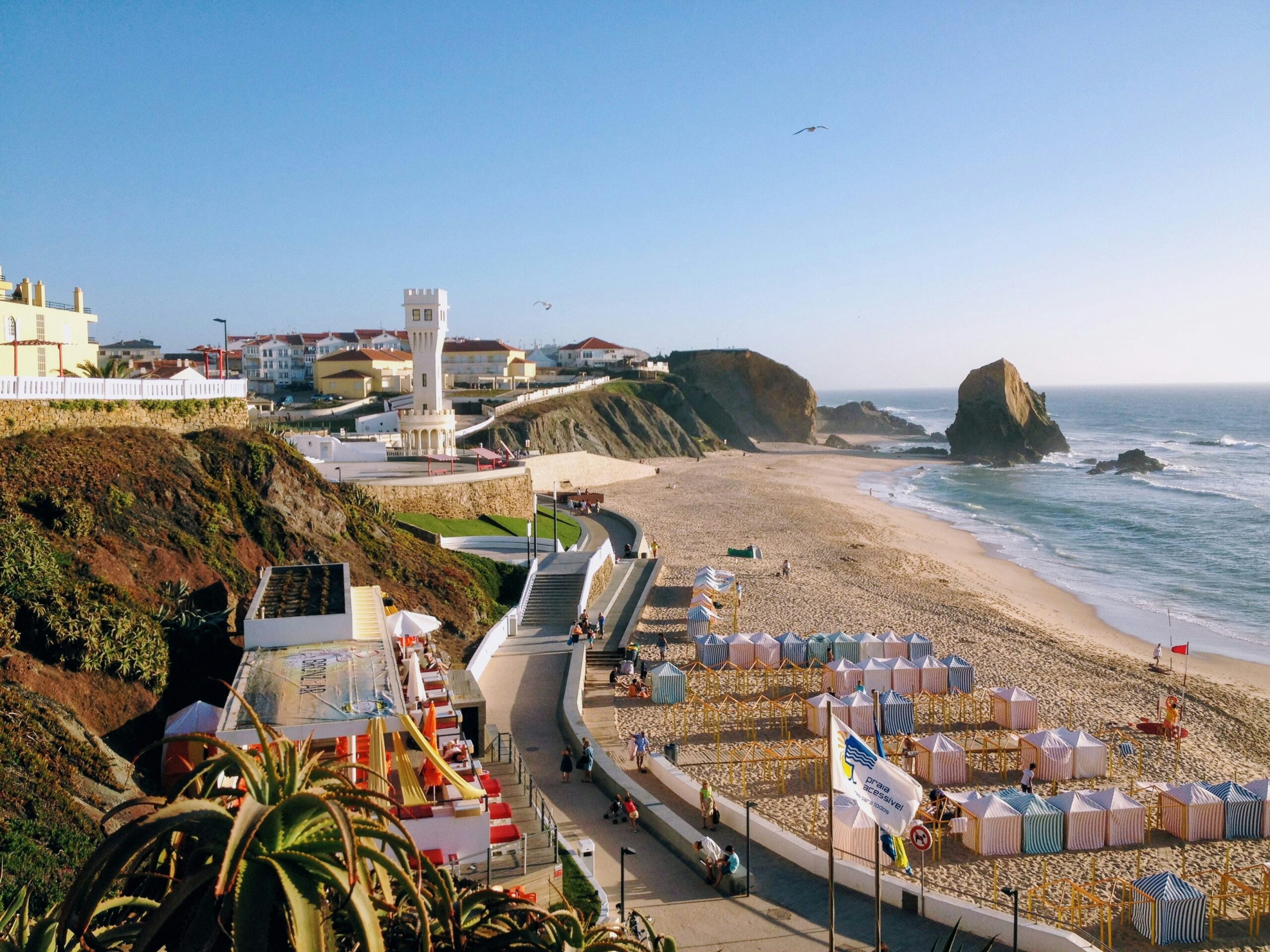
Each map will clearly identify four different types of beach areas. Concession zones are the parts of the beach where businesses provide services such as sun loungers and umbrellas for rent. Circulation areas must remain clear so people can move safely across the beach, while safety areas are reserved for emergency access and other essential activities. The remaining free areas are available for visitors who bring their own umbrellas or other beach equipment. Explaining the initiative, Environment Minister Maria da Graça Carvalho said “it needs to be clear, and shown in a diagram at the entrance to the beach” where each type of zone begins and ends, as the layout can vary from one beach to another. Because every beach has a different layout, each location will have its own map to help visitors quickly understand where each zone begins and ends.
The measure comes as Portugal continues to welcome growing numbers of visitors. According to the Portuguese National Statistics Institute, the country received almost 30 million international tourists in 2025, an increase of 3.3% compared with the previous year. Although growth has started to slow, Portugal remains one of Europe’s most popular holiday destinations, with the Algarve attracting large numbers of domestic and international travellers every summer. At the same time, the country has been working to improve how tourism is managed by encouraging year-round travel and promoting lesser-known destinations beyond traditional hotspots. Clearer organisation of public beaches forms part of that wider effort to improve the visitor experience while reducing pressure on popular locations.
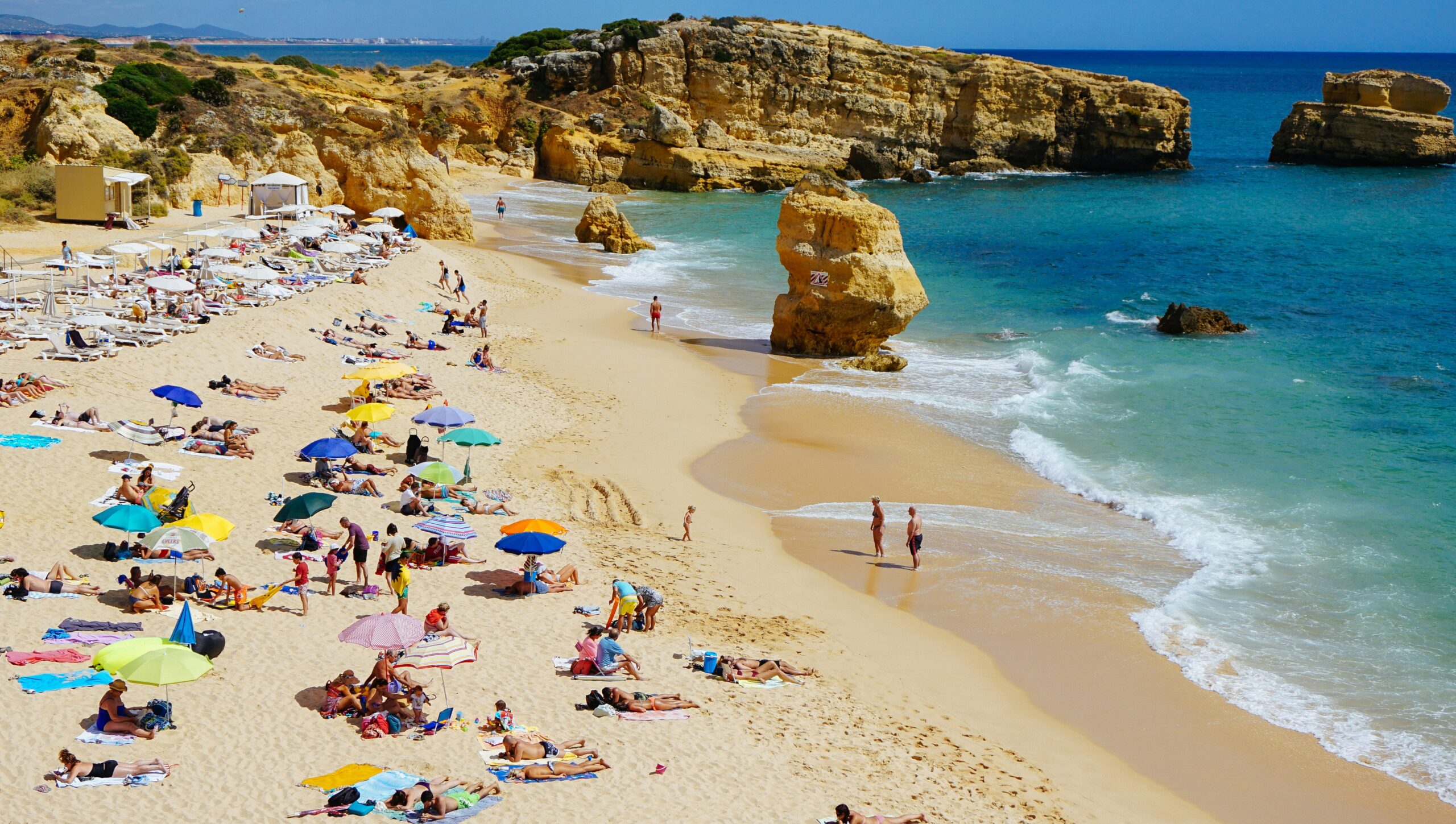
The Algarve is known for its long sandy beaches, dramatic cliffs and nature reserves such as the Ria Formosa, while the neighbouring Alentejo coast attracts travellers looking for quieter stretches of coastline. These regions have become increasingly popular not only with international visitors but also with Portuguese holidaymakers. As more people head to the beach during the summer months, misunderstandings over where visitors can sit have become more common. By displaying the rules in a simple visual format, authorities hope to reduce conflicts between beachgoers, concession operators and local councils before they arise.
Preparing the maps will be the responsibility of the municipalities where the beaches are located. Before they are installed, each map must also receive approval from both the Portuguese Environment Agency and the Maritime Authority to ensure the layouts comply with existing regulations. The government has asked local authorities to put the signs in place as quickly as possible because the bathing season is already underway. According to Minister Carvalho, municipalities support the initiative, as they are often the first to receive complaints when disagreements occur on the beach.
For travellers, the introduction of the maps does not mean new restrictions are being introduced. Existing rules remain unchanged, including the limit that concession areas may occupy no more than 30% of the usable beach or 50% of the beachfront. Safety and circulation areas must continue to remain clear, while the rest of the beach is available for public use. Visitors planning a beach day in Portugal will simply be able to check the map at the entrance and choose a suitable place with greater confidence, making the start of a day by the sea a little more straightforward.